





An urban fabric shaped over centuries
The Medina of Tunis comprises a central core and neighborhoods to the north and south. Some 700 historic monuments are distributed across the ensemble, including mosques, palaces, mausoleums, madrasas and fountains. The figure is approximate and is not a detailed inventory of each building.
Under the Almohads and Hafsids, between the 12th and 16th centuries, Tunis was considered one of the most important and prosperous cities in the Islamic world. Between the 16th and 19th centuries, palaces and residences, great mosques, zaouias and madrasas were added. The variety of buildings makes it possible to recognize different periods and uses: religious, residential, educational, commercial and governmental.
Narrow streets, turns and covered passages
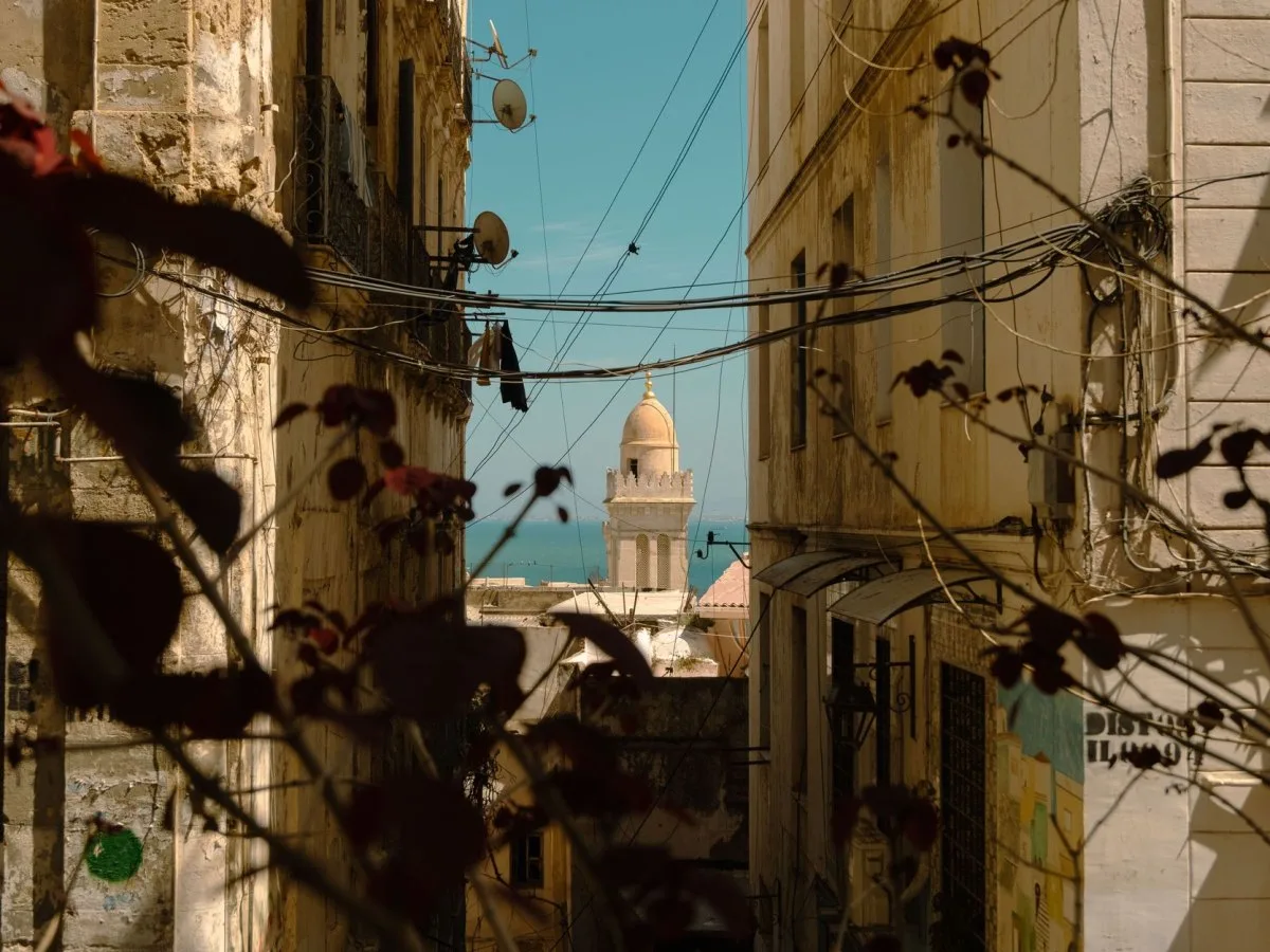
The urban fabric is characterized by narrow, winding streets, changes in direction and dead ends. Rather than following a regular grid, routes connect neighborhoods, markets and other spaces through a succession of turns. Some streets have sabats: structures that span the passage overhead and cover it in part.
As a design reading, these turns and overhead coverings invite us to consider the route as a succession of partial views and thresholds, rather than as a long, continuous vista. This is an interpretation of the documented urban form, not an account of a visit or a description of the present conditions of every street.
Fortifications are also part of the historic landscape, although they have not survived uniformly. The wall around the central medina disappeared between 1860 and 1890. The Institut National du Patrimoine notes that the second line of fortification remains visible along some stretches of the route between Bab El Khadra and Bab Gorjani, passing by the Kasbah; this does not mean that a continuous wall survives. Bab Jedid and Bab El Bhar are among the historic gates of the ensemble, but the available documentation does not allow their present condition to be specified here.
The courtyard house
The traditional courtyard house is organized inwardly: rooms face the central open space. This building type, shared with other historic cities in North Africa and the Middle East, is adapted to local traditions, materials and environmental conditions. The courtyard is associated with privacy and comfort.
As a spatial interpretation, the courtyard can be understood as the center that organizes the rooms and connects different areas of the home. The idea of a sequence of thresholds around this center is a design reading, not a detailed description of every house in the medina.
Homes of relatively uniform height are part of the residential landscape, visually punctuated by minarets rising above the urban fabric. This difference in scale makes it possible to read religious buildings as landmarks within the city’s profile.
Markets, religious buildings and learning
The souqs form part of the medina’s structure and commercial history. Notable markets include Souq el-Attarine and Souq ech-Chaouachia. Residential, religious, educational and public buildings stand near the commercial streets, a combination that shows the diversity of functions in the historic center.
The Zitouna Mosque, the mosques of the Kasbah and Youssef Dey, the Es-Slimanya and El-Mouradia madrasas, and the Tourbet el Bey mausoleum are among the buildings that make up this landscape. Houses and palaces such as Dar el-Bey, Dar Hussein and Dar Lasram are also part of it. Taken together, these are architectural landmarks within an urban fabric shared by different uses.
Built heritage and cultural uses
The medina’s traditional commercial activities have been threatened by competition from other parts of the city. The continuity of these uses and the coherence of the urban fabric are part of the place’s history; the available information does not allow an assessment of the current condition of each business, building or public space.
The documentation describes cultural activities organized during Ramadan in palaces and cultural centers, including concerts, recitals and performances. It also mentions music, dance and art installations, as well as residents’ participation in festivals. This description does not establish that these activities are taking place currently or indicate their present schedules.
From a design perspective, the medina can be read through the relationships among its parts: the courtyard as a domestic center, the souq as a place of exchange, and minarets and monuments as landmarks within narrow, winding streets. These general features offer a spatial reading, not an assessment of the current state of conservation of every property or space.
Image note: The image is contextual and illustrative; it shows a narrow street, cables and a minaret in the distance, but does not allow the location to be identified as a specific street in the Medina of Tunis.
At a glance
Scope
Editorial reading; it is not a visit or a technical assessment.
Sources and references
Urban Heritage Atlas: Understanding attributes of historic cities and settlements| Medina of Tunis (Tunisia) ↗12/11/2026 UNESCO World Heritage Centre, “Urban Heritage Atlas: Understanding attributes of historic cities and settlements | Medina of Tunis (Tunisia)”.
Medina of Tunis - UNESCO World Heritage Centre ↗12/11/2026 UNESCO World Heritage Centre, “Medina of Tunis”.
Médina de Tunis ↗12/11/2026 Institut National du Patrimoine de Tunisie, “Médina de Tunis”.
Photograph · Photo by khebab salaheddine on Pexels · Pexels License · Sources and references · Centred crop to 4:3, resizing and conversion to JPEG for House Angle.